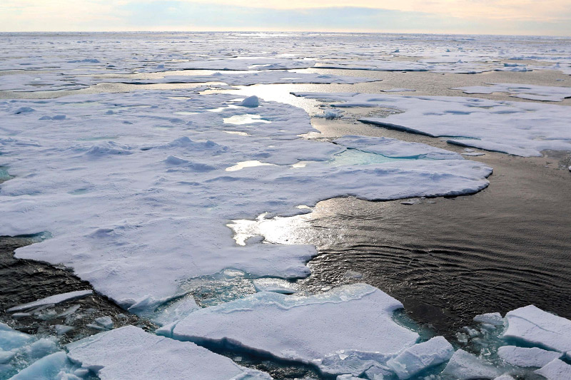
 Satellite images from the National Snow and Ice Data Center published December 6, 2017 show a record low amount of extant Arctic ice in the Chukchi Sea for the month of November 2017. The total amount of arctic ice was at the third lowest ever recorded in this era of satellite observation, but the amount of ice in the Chukchi Sea was well below average, which continues a year-long trend.
The Chukchi Sea’s condition is a key indicator of oceanographic influence on levels of extent sea ice. The less-than-normal amount of sea ice in the Chukchi Sea could be caused by unusually warm air blowing in from the southwest.
It is also possible that a strong oceanic heat flow from the Bering Strait into the Chukchi Sea could be a factor, a view that is supported by data collected by Rebecca Woodgate of the University of Washington while on the research vessel Norseman II. To learn more and see the images for yourself, visit nsidc.org/arcticseaicenews.