The Pacific Northwest is lucky to have one of the best (and most prolific!) weather experts around. He’s got good news for those of us who are eager for some warmth on the water! Here’s the lead-in to yesterday’s post:
Get your shorts out. Stock up on sun tan lotion. Make sure you have ice and cold drinks. Because some of the warmest April/early May weather we have seen in over a decade looks increasingly probable for Wednesday and Thursday of the upcoming week. Maybe even reaching the big EIGHT-OH!
At this point most of the leading models are going for this warm forecast, so I feel pretty confident telling you about it.
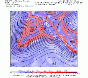
Let me show you the 12-km UW WRF model forecasts for this week. First, we have to get through a some rain tonight and showers on Sunday…sorry folks. April showers are required. But then on Monday and Tuesday, upper level ridging (high pressure) start building over the eastern Pacific. Here is the upper level (500 hPa, around 18,000 ft) maps for 5 PM Monday and 5 PM Wednesday. The will be a huge ridge developing over the West Coast with very large north-south extent.
Read the rest of it on his blog.